Article: The Julius Kugy's three-country trail
The Julius Kugy's three-country trail
A new route through Slovenia along the Mountains of Friendship
In 2019, the Alpine Associations of Austrian Carinthia, Slovenia and Friuli Venezia Giulia agreed in Mojstrana to establish a joint circular mountain trail (by-pass). In honour and memory of an important mountaineering figure from all three regions, they named it the Julius Kugy Trail or Julius Kugy Alpine Trail.
The 720 km long trail, with some 44 000 metres of ascents and descents, is a circular route through the valleys, the mid-mountains and the high mountains of the three countries. The idea for the trail came from Valentin Wulz, a member of the Carinthian Mountaineering Association, who proposed and field-tested the route, drew up the descriptions and designed its main website. All three mountain associations involved hope that this route will revive the former Three Lands Friendship Route initiative. In the mid-1960s, 10 peaks were identified in each country for hikers to climb. A guide to these peaks was also published. Over the years, the idea has died out, the guidebook is long gone, but the mountains are still as inviting as they were. Since long-distance hiking trails are very popular nowadays, the three mountaineering federations decided to revive the mountaineering friendship with a joint circuit.
Julius Kugy Route
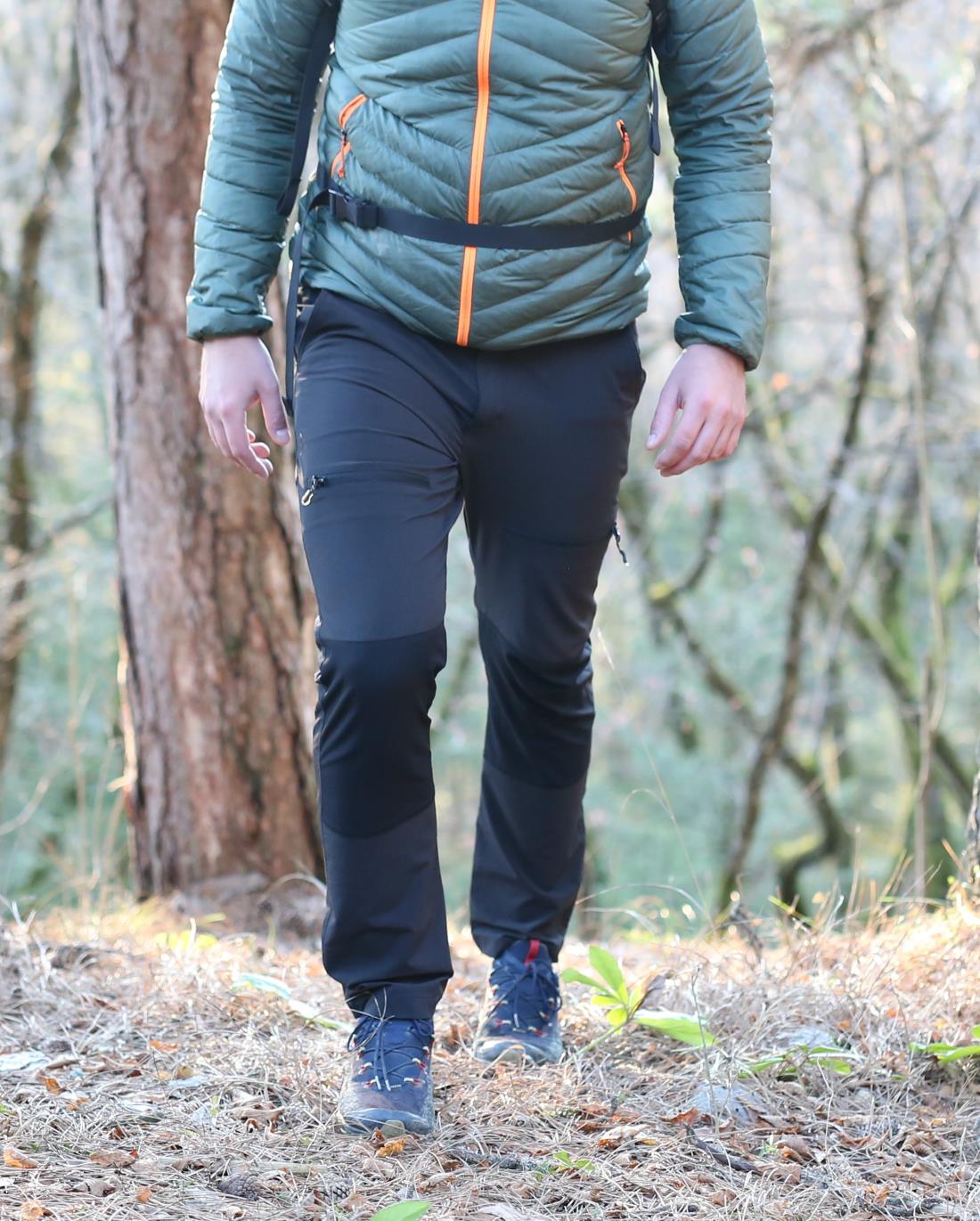
The trail starts at the Borovščica Cottage/Bertahütte north of Kepa. The first three stages follow the Austrian part of the Karawanken Mountains eastwards. The fourth stage starts in Bela/Bad Vellach near Železná kapla and ascends to the Slovenian border at the Sv. Duh saddle west of Olševa. There, it starts its course across Slovenia. It continues past Potočka zijalka to the ridge of Olševa, then to Grohot and through Durce past Raduha to Koča na Loki. From there it passes through Luce to Korošica and Kamnik saddle. This hiking trail avoids climbs to the highest peaks of the Grintovci Mountains, but of course, everyone can also enjoy an intermediate jump to the peaks in its vicinity. From Kamnik saddle it then descends to Okrešelj, climbs to Savinjska saddle and ends in Jezersko, under the northern walls of the Kamnik-Savinja Alps. The stage from Jezersko is mainly along the Slovenian Alpine Route to Storžič and over Kriška Gora to Tržič. From Tržič it continues to Dobrča and under Begunjščica to Valvasor's home under the Stol. The last stage under the peaks of the Karavanke Mountains leads to Mojstrana, where the Julius Kugy Trail enters the Julian Alps. From Mojstrana, the trail leads through the Krma Valley to Vodník's home in Vele Polje, then under Triglav, through Hribarice to the Hut at Triglav Lakes. Here again, hikers are free to take on the surrounding peaks as they wish. The last stage runs from the Triglav Lakes through the central part of the Julian Alps, past Komna and Krnsko Lake to the Gomiščko shelter in Krno.Hikers on the Julius Kugy Trail leave Slovenia by descending from Krno to Kobarid and climbing over Kolovrat to the open-air museum there. At the top of Na grad, the trail says goodbye to our mountains and enters Italy. In Italy, the route first passes through the hills of Veneto, right next to the Slovenian border, over the Breški Jalovec and past Muzce to Skutnik. There it touches Slovenia once more before descending into Rhesia. It leaves the Julian Alps at Bela/Resiutta and starts its journey through the Carnic Alps at Muzac/Moggia. Through the Sernia group, past Tolmezzo/Tolmezzo and Sauris, he turns north and reaches the Austrian border at Lake Volaya. In Austria, it then leaves the Carnic Alps and crosses northwards into the Zillertal Alps, crossing the Reisskofel and Spitzegel, before returning to the Caravan Mountains via Dobrač and past Belzec. There, it completes its circuit at the Borovščica Hut/Bertahütte. The whole route is divided into 30 stages. For the fittest, this may mean only 30 days of walking. However, it is to be expected that most hikers will decide to divide the route into even shorter sections, according to their own preferences and abilities.
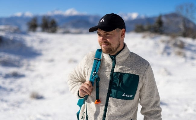
Slovenian part of the route The route in Slovenia is mostly along existing mountain trails. Only below Begunjščica for a short stretch it follows the markings of the Slovenian Touring Cycling Route, and from Kobarid to Kolovrat it follows the markings of the Peace Trail. By the main season in summer 2022, the mountaineering associations, which are the custodians of the individual sections of the trail, will attach a signpost with the logo of the trail at key signposts. Slightly larger stickers or signs will be placed in the huts. They will have QR codes for accessing information about the Slovenian part of the route on the maPZS website (https://mapzs.pzs.si/path/64038) and about the whole route on the website https://www.julius-kugy-alpine-trail.com/, which is maintained by Austrian colleagues. We hope that this trail will also become a popular destination for those hikers who like to undertake multi-day long-distance routes. It is, after all, one of the most enjoyable ways to get to know a country and its people.
Source: Stritar A. (2022). Nova pot treh dežel Juliusa Kugyja. Planinski vestnik, 22(5), 64-5.


